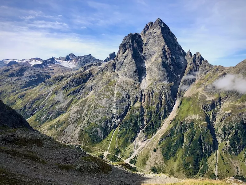
Out and about in the wild Verwall high mountains.
Hiking 7 days, Vorarlberg, Austria.

Difficulty:

Fitness level:
In 7 days through the wild and lonely Verwall high mountains.
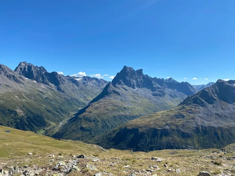
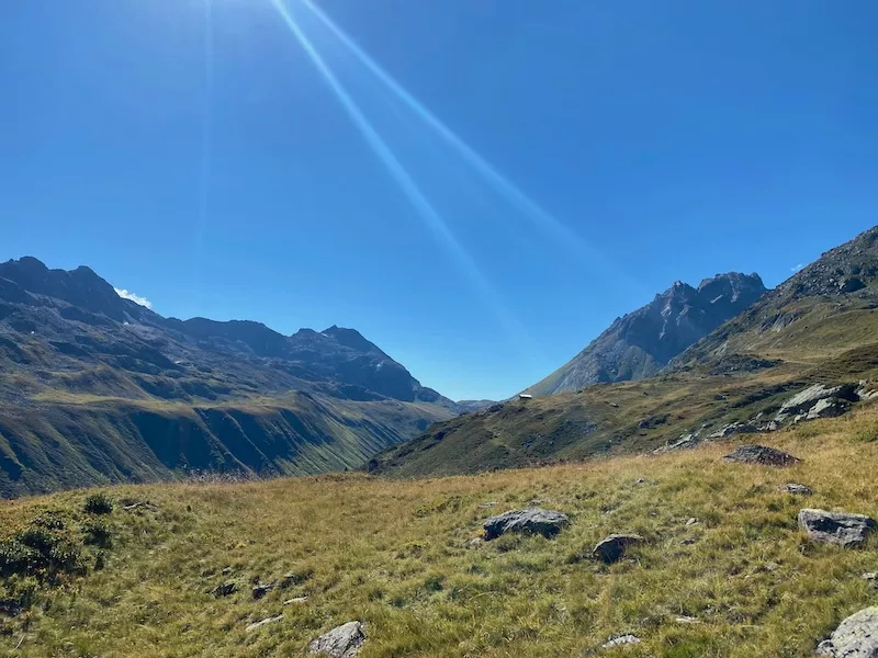
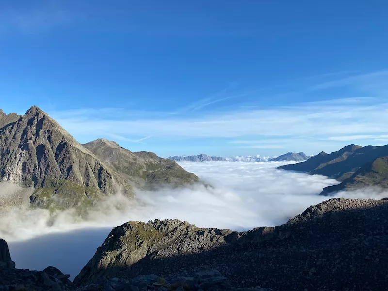
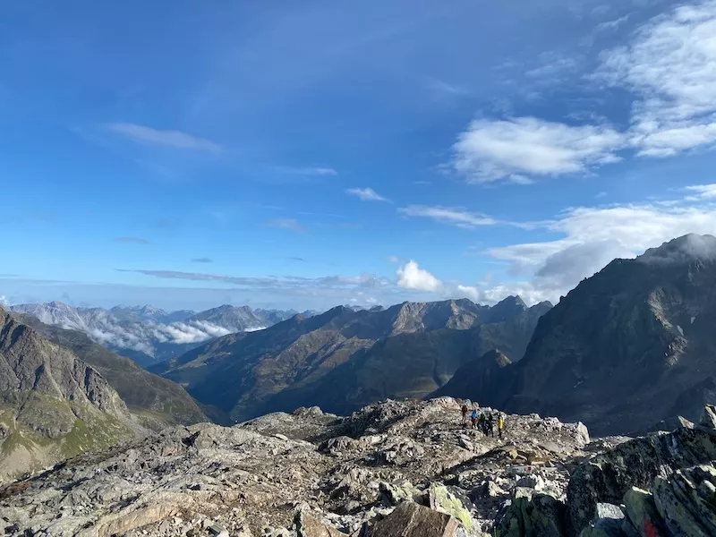
In seven days we cross the lonely and rugged rugged Verwall, which lies on the border between Tyrol and Vorarlberg in the central Eastern Alps. The are among the most beautiful in the Alps. They are mostly below the summit massifs summit massifs and make it possible to cross the Verwall without having to descend into the valley. We hike past wild peaks and small glaciers on a fantastic loop from hut to hut and experience fantastic views, pristine mountain landscapes and a varied
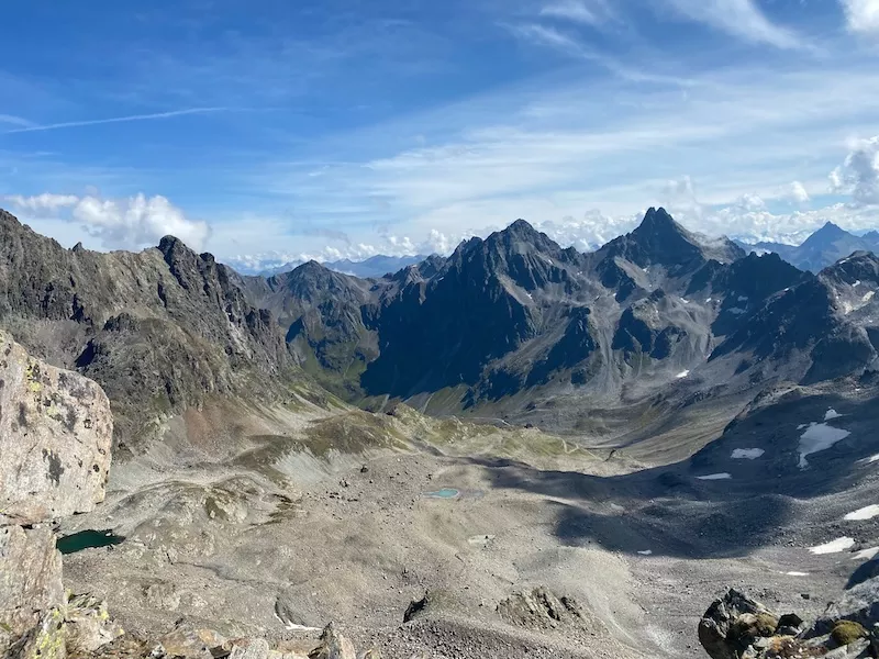
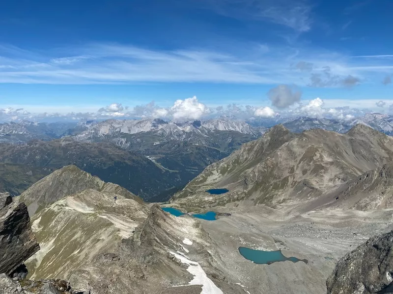
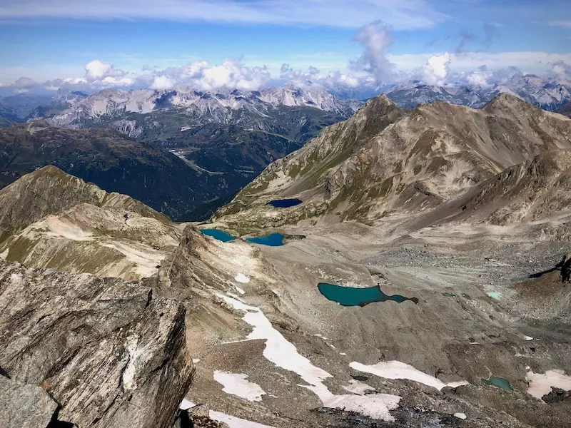
route. At the end the ascent of the highest peak in the Verwall, the Hohe Riffler (3,168 m), is on the program. The Hohe Riffler is a relatively easy climb and unglaciated on the normal route three-thousand-metre peak with a fantastic 360° panorama.
On request
- Tour planning and organization
- 7 guided hiking days by an internationally cert. mountain guide
- 6 overnight stays in mountain huts with half board
- Bus trips as indicated
- Travel insurance certificate
- Arrival and departure
- Drinks
- Lunch stop
- Tips, personal expenses
- Possible parking fees
- Optional overnight stays before and after the tour
- Payment options at the huts: usually only possible in cash
Meeting point: multi-day parking lot, Innstraße, Landeck
Time: 12:00 noon
Departure bus: 12:47
Public transportation by train and bus is recommended and can be easily planned on bahn.de (Germany) or oebb.at (Austria). If arrival or departure by public transport is not possible, a multi-day parking lot is available at the meeting point in Landeck for a fee.
IMPORTANT: please do not park directly at the train station in Landeck. These parking lots are especially for local commuters and are always very crowded.
It is approx. 2 km on foot from Landeck train station to our meeting point. After a short equipment check, we walk approx. 5 minutes to the bus stop and take the bus to our tour starting point in Mathon (approx. 55 minutes ride without changing buses).
The tour starts in Mathon. The tour ends in Pettneu am Arlberg. Meeting point is in Landeck
Difficulty: Medium
We hike on predominantly medium-difficulty mountain trails. The nature of the paths can be rocky and bumpy. Occasionally there are exposed passages that are secured with wire ropes. Hiking experience, surefootedness and a head for heights are required.
Fitness level: Medium
You have a good basic level of fitness and stamina for tours with a walking time (real walking time without breaks) of up to 7 hours and up to a maximum of 1200 vertical meters in ascent and descent.
Day 1: Mathon (1,455 m) - Friedrichshafener Hütte (2,138 m)
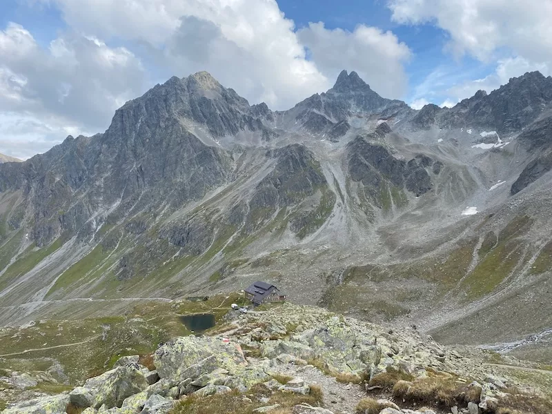
After a short bus ride, we start our Verwall crossing in Mathon. After crossing the road, we walk across a meadow alongside a stream before soon entering a forest. As we ascend, we repeatedly cross the road that leads to the hut. We soon reach an open alpine pasture where we have our first views of the beautiful Verwall. Continuing steadily uphill, we arrive at the hut, from where we have an impressive view of the Verwall peaks and the eastern 3000 m peaks of the Silvretta group opposite.
↑ 680 m ascent, walking time: approx. 2:00 h, catering: D
Day 2: Friedrichshafener Hütte (2,138 m) - Neue Heilbronner Hütte (2,305 m)
On the Friedrichshafener Höhenweg, which we follow uphill to the west, we have beautiful views of the Paznaun valley. Passing the Gaißspitz, we reach the Muttenjoch (2,620 m). Here we have a great view of the Schönverwall and then descend a little to the Rosanna, which we cross. On the other side of the valley, the trail climbs again and follows a long traverse to the north-west, first over green meadows, then over scree slopes and around the north-east side of the Schaftälispitz and Grüner Grat. Having reached the highest point here, our path leads gently downhill over mountain meadows to the hut. After a long rest and backpack relief, we have the opportunity to climb the Valschavielkopf (2,696 m), where we have a wonderful panoramic view. We take the same route back to the hut, which is located by a beautiful mountain lake.
↑ 1,100 m, ↓ 930 m, walking time: approx. 6:30 h, catering: B, D
Day 3: Neue Heilbronner Hütte (2,305 m) - Konstanzer Hütte (1,691 m)
After a short descent into Schönverwalltal, we hike uphill along the Bruckmannweg past Wannensee lake to our highest point of the day: the Wannenjöchli (2,633 m). From here we descend steeply into the beautiful Fasultal valley, which we reach at the so-called “Kugelt Stan”, always accompanied by views of the mighty Patteriol, also known as the Matterhorn of the Verwall. From here, it's a leisurely walk along the Fasulbach stream to the Konstanzer Hütte.
↑ 600 m, ↓ 1,220 m, walking time: approx. 5:30 h, catering: B, D
Day 4: Konstanzer hut (1,691 m) - Darmstädter hut (2,384 m)
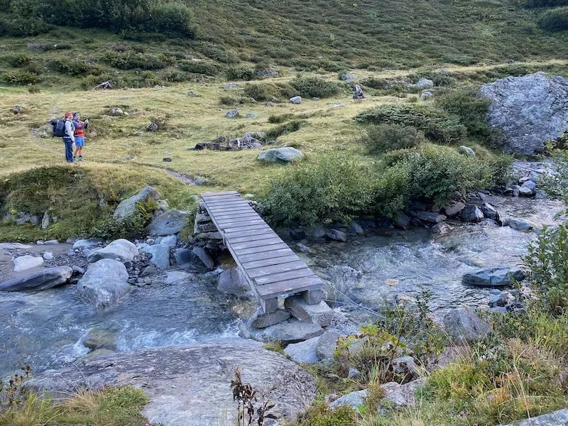
After breakfast, we hike back along yesterday's route in the Fasul valley until we reach a small wooden bridge. From here we begin the beautiful and steep ascent in a south-easterly direction up to the Kuchenjöchli (2,730 m). Once here, we can already see our final destination for today, the Darmstädter Hütte. From here, we follow the “Apothekerweg” for a short stretch along a steep section secured by a wire rope and past the remains of the Großer Kuchenferner down to the hut, where delicious homemade dumplings in all variations await us.
↑ 1,050 m, ↓ 360 m, walking time: approx. 5:00 h, catering: B
Day 5: Darmstädter Hütte (2,384 m) - Niederelbehütte (2,310 m)
We first hike down to the Kartell reservoir before heading back up to the Seßladjoch (2,750 m). Here we have a great view of the surrounding mountains. On the following descent to the hut, we may be lucky enough to spot some marmots and maybe even the king of the Alps, the ibex. After a long rest, you have the option of hiking up to the nearby Kappeler Kopf (2,404 m, ↑ ↓ 100 m, 0:45 h) or to Schwarzsee (2,560 m, ↑ ↓ 260 m, 1:45 h).
↑ 740 m, ↓ 810 m, walking time: approx. 4:00 h, catering: B, D
Day 6: Niederelbehütte (2,310 m) - Edmund-Graf-Hütte (2,375 m)
Today we finally climb the highest peak in the Verwall, the Hoher Riffler (3,168 m). We hike along the Kieler Weg trail with wonderful views of the Silvretta to the Edmund-Graf-Hütte. Once there, we treat ourselves to a lunch break and lighten our luggage before making our way to the summit. Once at the summit, we enjoy the breathtaking panoramic view of the three-thousander. We take the same route back to the hut, where we spend our last evening together reviewing our experiences and impressions.
↑ 1,330 m, ↓ 1,260 m, walking time: approx. 7:00 h, catering: B, D
Day 7: Edmund-Graf-Hütte (2,375 m) - Pettneu am Arlberg (1,122 m)
Today we finish with a summit ascent. From the hut we climb up to the Brandlscharte (2,371 m). From here it is another 100 m up to the Imbachhorn (2,470 m) with a wonderful view of Zell and Lake Zell. Now begins the long descent down to our starting point. End of the tour around 14:00.
↑ 300 m, ↓ 1,540 m, walking time: approx. 4:15 h, catering: B, D
Good to know.
The essential information about the trip is provided on this page before booking.
After your binding registration, you will additionally receive a detailed PDF with all important and comprehensive information.
Further important information can be found here:
We do not offer any insurance coverage for our tours. Please make sure to arrange appropriate insurance on your own.
Cancellation:
We advise you to take out travel cancellation insurance and insurance that covers your repatriation costs in the event of an accident or illness. Please check your insurance cover.
International health insurance:
Make sure that you have international health insurance for your mountain trip abroad to cover any costs incurred in the event of illness or accident.
Trip interruption insurance:
We also recommend travel interruption insurance in case you have to interrupt your trip for unexpected reasons on site.
Alpine Club:
We recommend that you become a member of one of the Alpine clubs (German Alpine Club, Austrian Alpine Club, Swiss Alpine Club). Membership usually covers the costs of a helicopter rescue.
The trips can only be carried out if the specified minimum number of participants is reached. If this number is not reached, the tour operator may cancel the tour up to 7 days before the start of the tour at the latest.
Please book directly via the website by filling out the contact form.
Once we have received your booking, you will promptly receive a booking confirmation and an invoice for a deposit of 20% with a payment term of 14 days. The remaining amount is due 4 weeks before the start of the trip without any further request. You can pay the invoices conveniently by bank transfer.
Changes and/or deviations from the advertised program schedule during the trip are possible at any time. In particular, changes in local conditions and weather-related influences mean that the specified itinerary cannot be guaranteed. In this respect, the description only represents the planned itinerary without guaranteeing the exact itinerary in detail. Changes are always possible due to safety aspects and are reserved for the guide.
Please make sure your equipment is in good working order and up to date. If your equipment does not meet the requirements of the tour, you are not entitled to participate and the mountain guide can exclude you from participation!


